Lluest Y Bryn, Carmarthen Offers in the Region Of £550,000
Please enter your starting address in the form input below.
Please refresh the page if trying an alternate address.
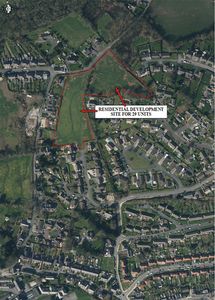
- FREEHOLD RESIDENTIAL DEVELOPMENT SITE.
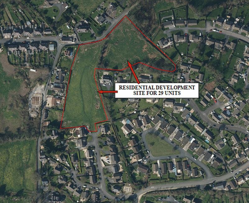
- APPROXIMATELY 1.7 HECTARES OR THEREABOUTS (4.2 ACRES).
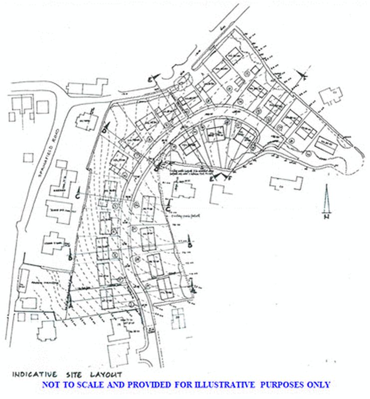
- OUTLINE PLANNING PERMISSION FOR THE SITING OF 29 DWELLINGS.
- WALKING DISTANCE CARMARTHEN TOWN CENTRE.
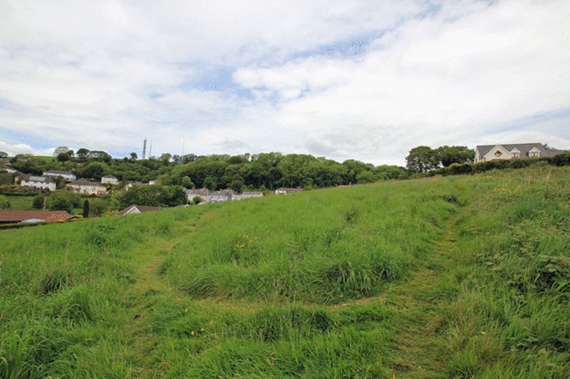
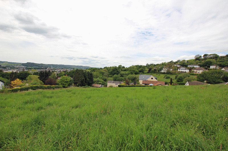
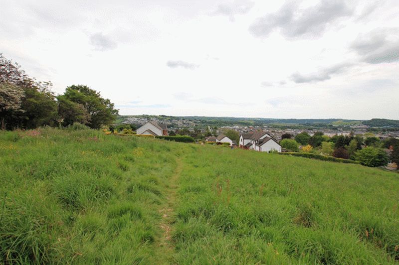
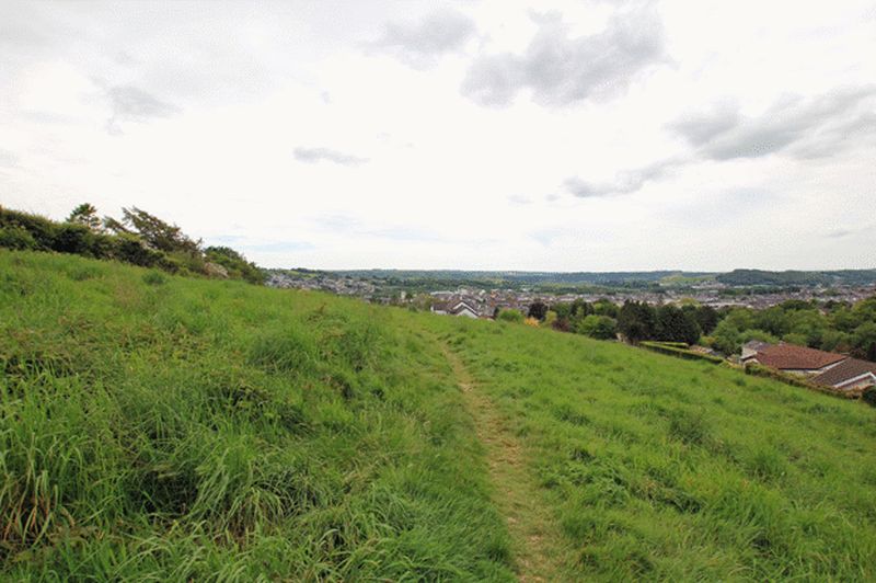
- VIEWS OVER CARMARTHEN THE LOWER TOWY VALLEY AND BEYOND.
- JUST OFF THE TOWN CENTRE.
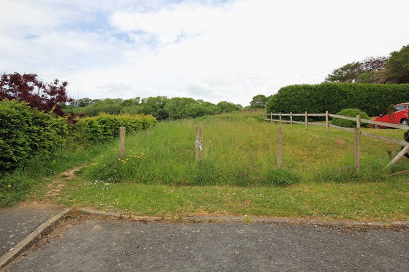
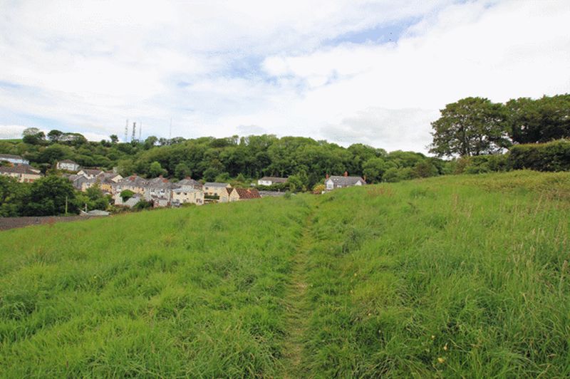
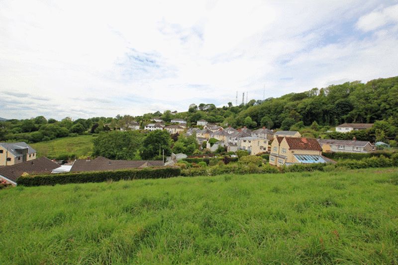
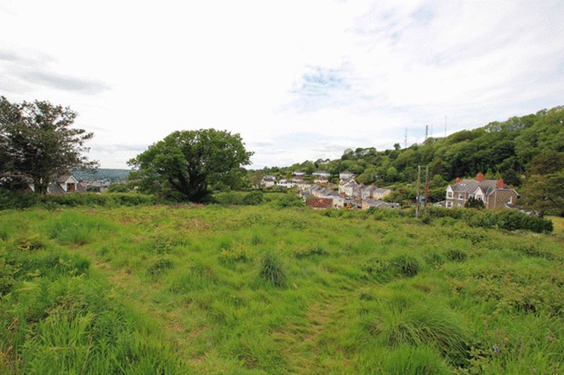
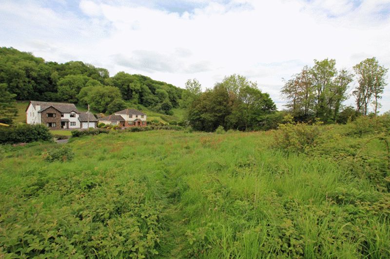
A rare opportunity to acquire a FREEHOLD RESIDENTIAL DEVELOPMENT SITE within walking distance of the centre of the County and Market town of Carmarthen. The site is approached via 'Capel Evan Road' and 'Lluest Y Bryn' and we are informed that the site amounts to approximately 1.70 hectares (4.2 acres) and is bounded on its northern side by 'Springfield Road'. PLANNING PERMISSION: Outline Planning Permission under Reference No: W35903 has been granted on 13th May 2019 for the siting of 29 Units. All matters are Reserved and applicants are advised that the Planning Permission that has been granted is subject to the applicant/developer entering into a Section 106 Agreement for a contribution towards Community Benefits in relation to:- 1. Provision of 30% of the units at the site are Affordable Housing. 2. A financial contribution towards Education in accordance with the formula given in the Planning Obligations SPG. A copy of the Outline Planning Permission is obtainable in the Agents Offices. All dimensions mentioned on these particulars are approximate having been taken from the Architects Drawings and therefore prospective purchasers should satisfy themselves as to the accuracy of the same prior to agreeing to purchase the land. Prospective purchasers must satisfy themselves as to the cost and availability of connecting to any services prior to submitting an offer for the land. PUBLIC FOOTPATH - Applicants should note that a Public Footpath passes through the site towards 'Springfield Road'.
Carmarthen SA31 1GZ
NB. Google map images may neither be current nor a true representation of the property or it’s surroundings as these may have changed since the image was taken.


